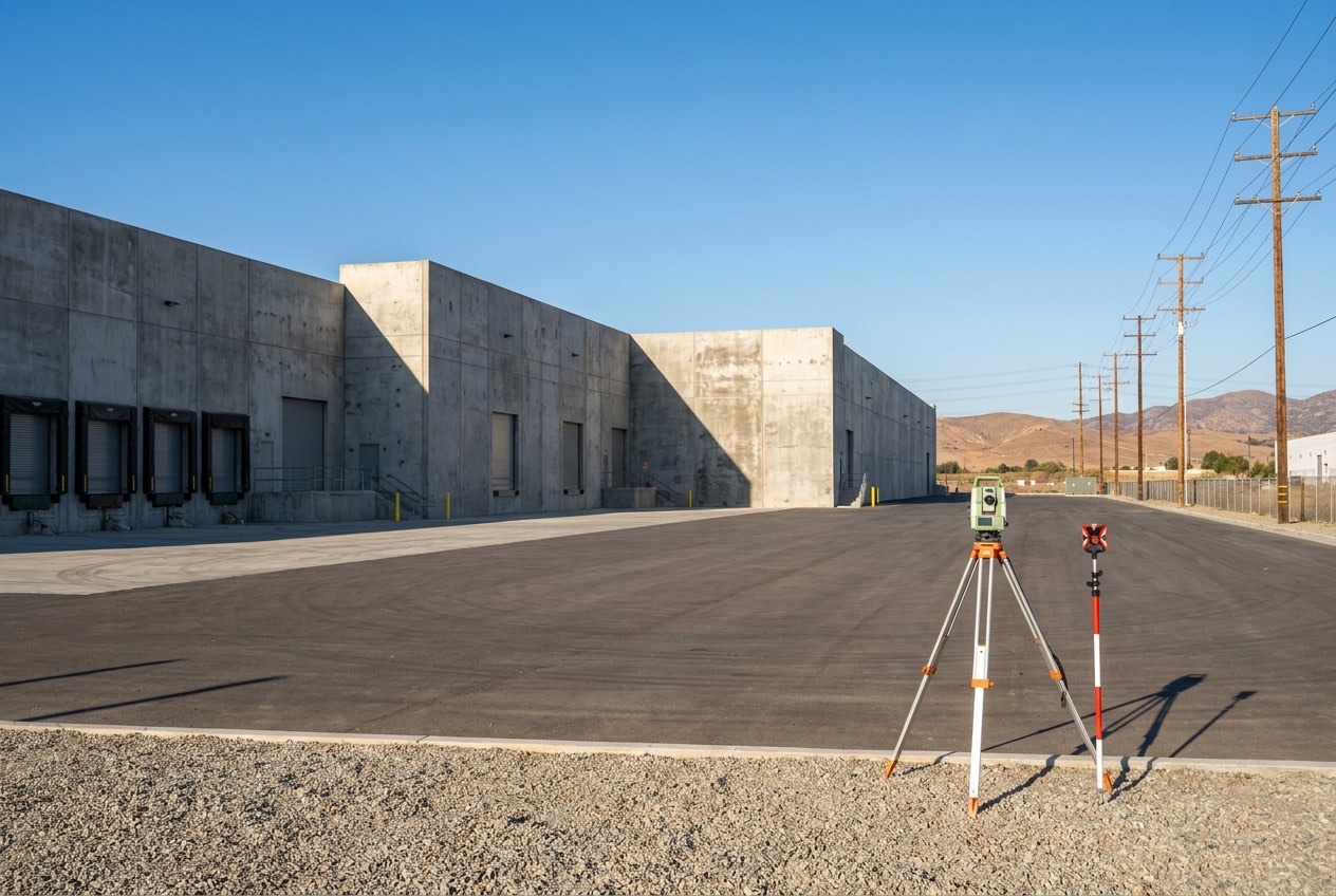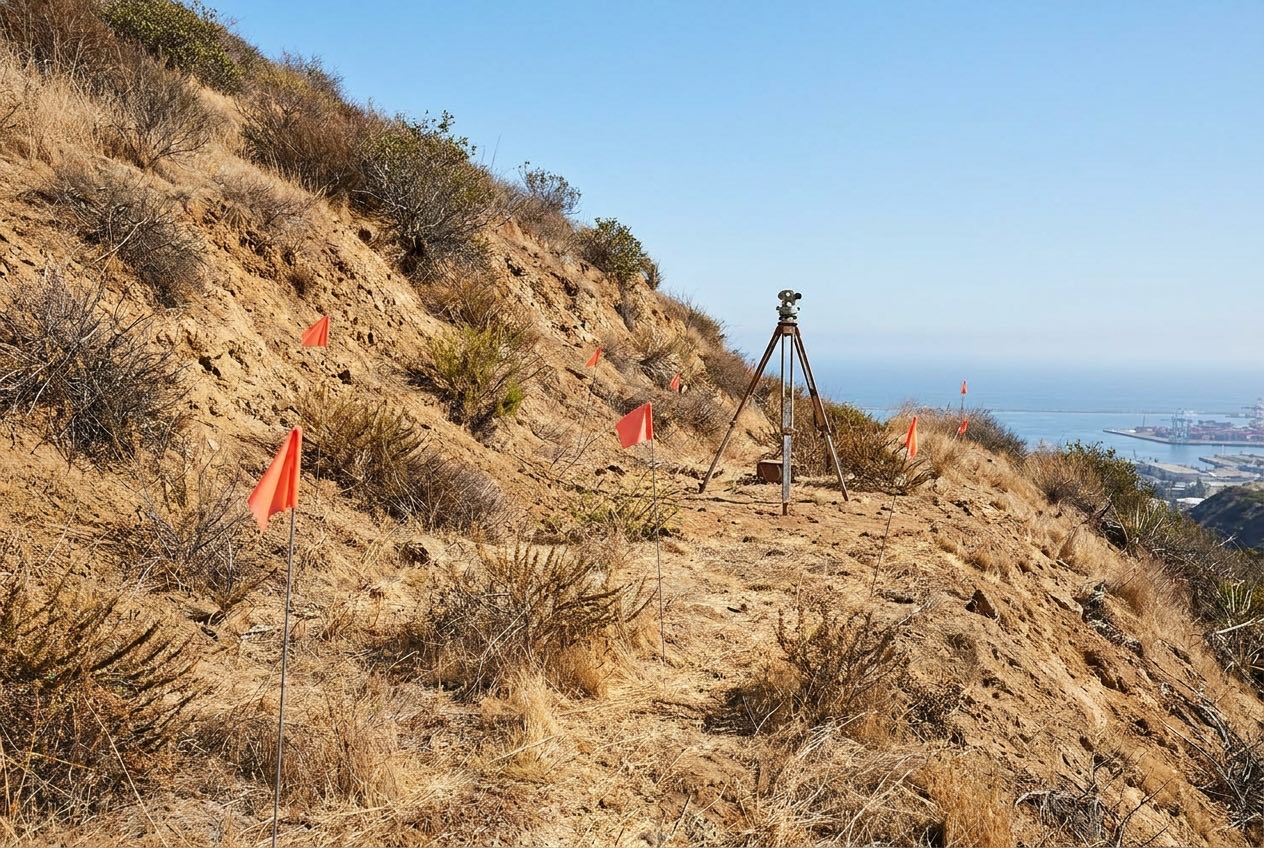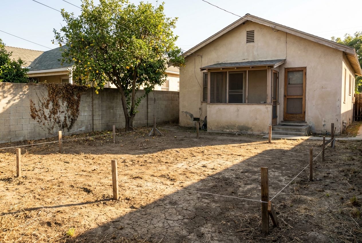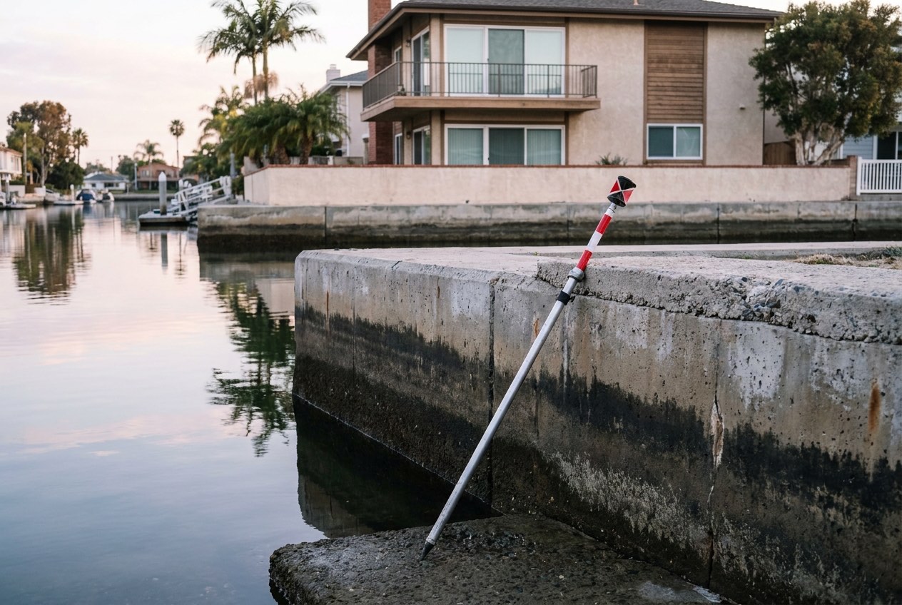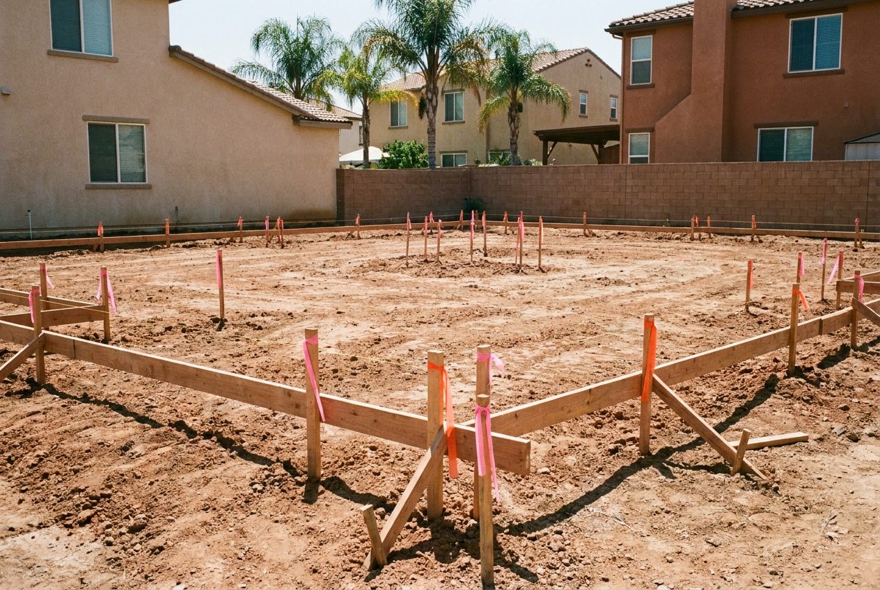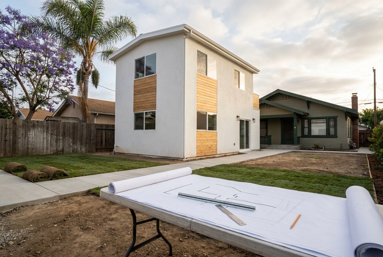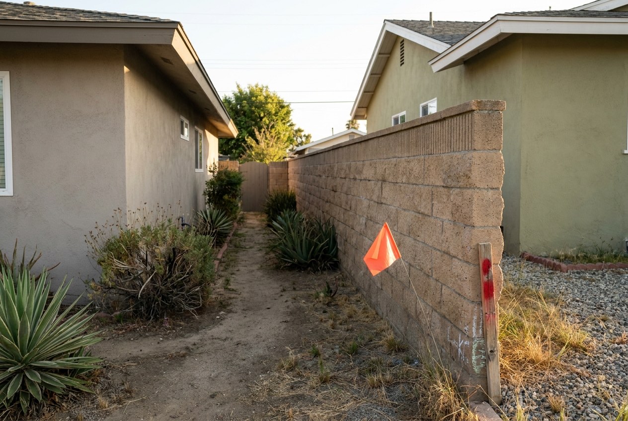
Boundary, ALTA/NSPS, topographic and ADU site surveys across Long Beach, Signal Hill, Lakewood and Seal Beach. Drawn to the standard plan check, your lender and your title company will actually accept.
Tell us the deadline when you call. Tight dates are a normal request here.
Free - No obligation
Two minutes. We come back to you the same business day.
If it is urgent, call us now on (310) 919-1081
Something went wrong at our end. Call (310) 919-1081 and we will take the details over the phone.
What we survey
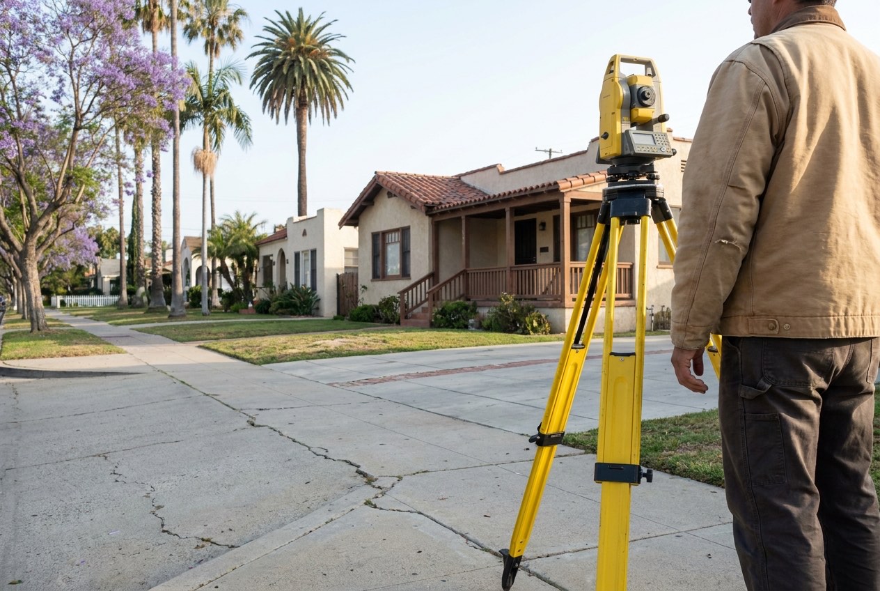
Most people arrive holding somebody else's request - plan check, a lender, a title insurer or an architect has asked for a specific document. Each one below is a different document.
Locates your property lines from the recorded tract map and street monuments, and shows where walls, fences and structures sit against them.
Learn More →
The national survey standard title insurers and commercial lenders rely on, with every title commitment exception plotted or noted.
Learn More →
Maps ground elevations, drainage paths, structures and visible utilities as a base for grading, drainage and building design.
Learn More →
Lot lines, existing buildings, setbacks, easements, utilities and grades - the measured base an ADU site plan is drawn on.
Learn More →
The FEMA form that records how your building sits against the base flood elevation - used for flood insurance and map amendment requests.
Learn More →
Offset, grade and utility stakes set from boundary control and benchmarks, so the building lands where the plans put it.
Learn More →
Measures finished structures, pads and utilities against the lot lines and approved plans - for close-out, lenders and existing-conditions work.
Learn More →
Surveys, exhibits and legal descriptions for moving a boundary between adjoining parcels under the Subdivision Map Act exemption.
Learn More →Why people call
Hardly anyone orders a survey for fun. In most of these cases somebody else asked for it and set the date.
The ADU, the addition or the new garage cannot be submitted until the drawings show the real lot lines, setbacks and existing structures - not a sketch off the assessor map.
A lender or title insurer has conditioned the deal on a survey, usually an ALTA/NSPS on commercial property, and the closing date is already on the calendar.
The wall between two yards is being rebuilt, a neighbour thinks it is on their side, or a new fence is going in. Nobody should pour a footing until the line is marked.
A property near the water is paying for flood insurance, or a lender needs to know the floor height relative to the flood elevation. That is an elevation certificate.
Why us
Here the field work is often the quick part. What decides whether a survey is useful is the record research behind it and whether it is drawn for whoever asked for it.
The address or APN, what has been asked for and when it is due. That is enough to price it.
A price and a realistic date. If the deadline cannot be met we say so before you commit.
We pull the recorded maps, prior surveys and corner records, then measure what is on the ground and reconcile the two.
Delivered in the format the requesting party accepts, so it does not bounce back from plan check or escrow.
Where we work
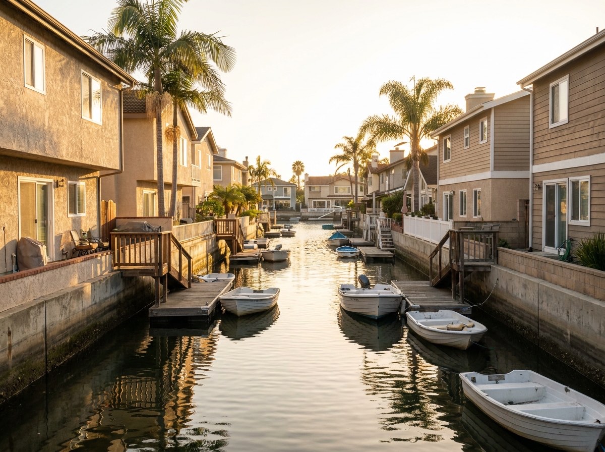
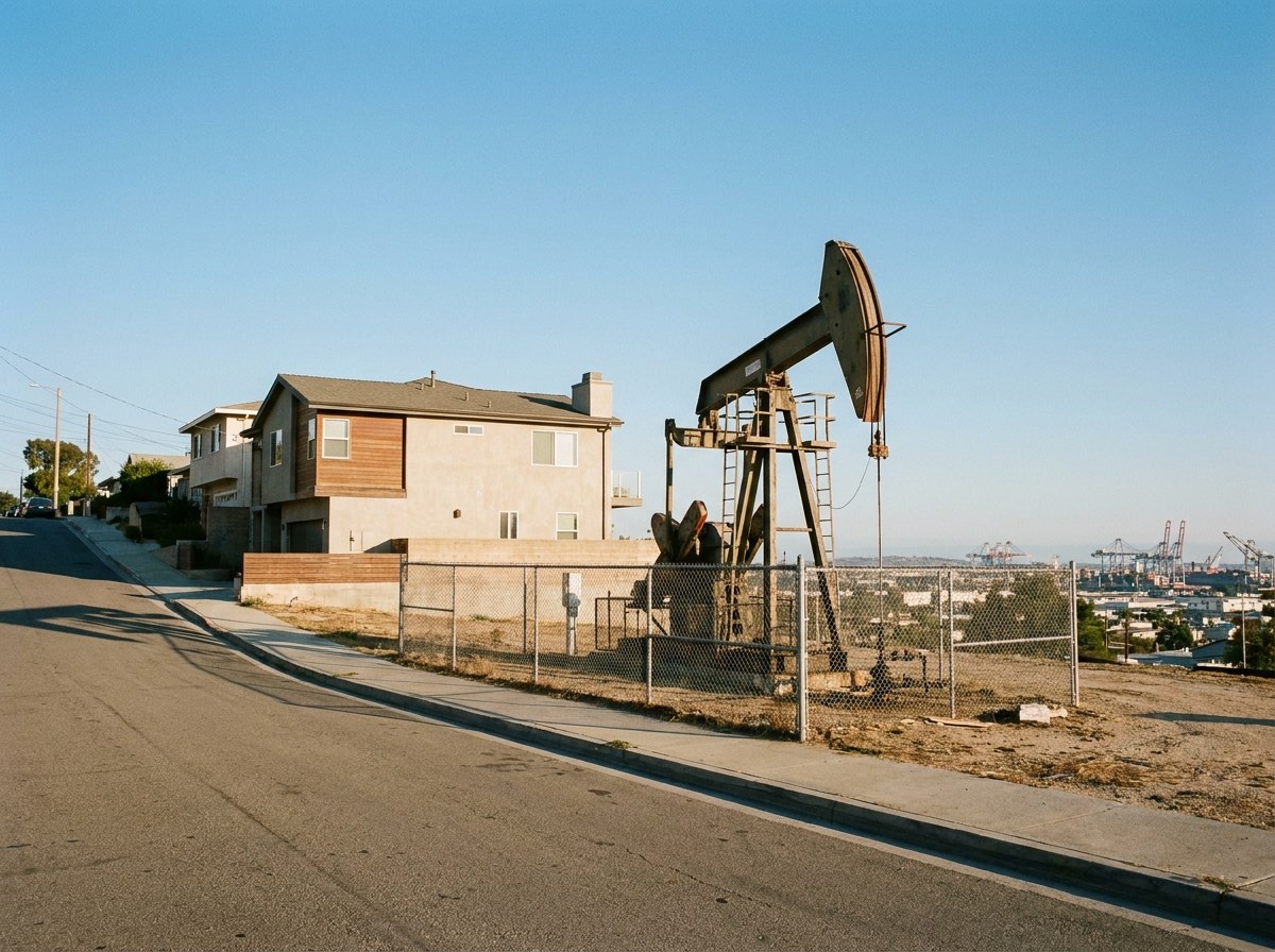
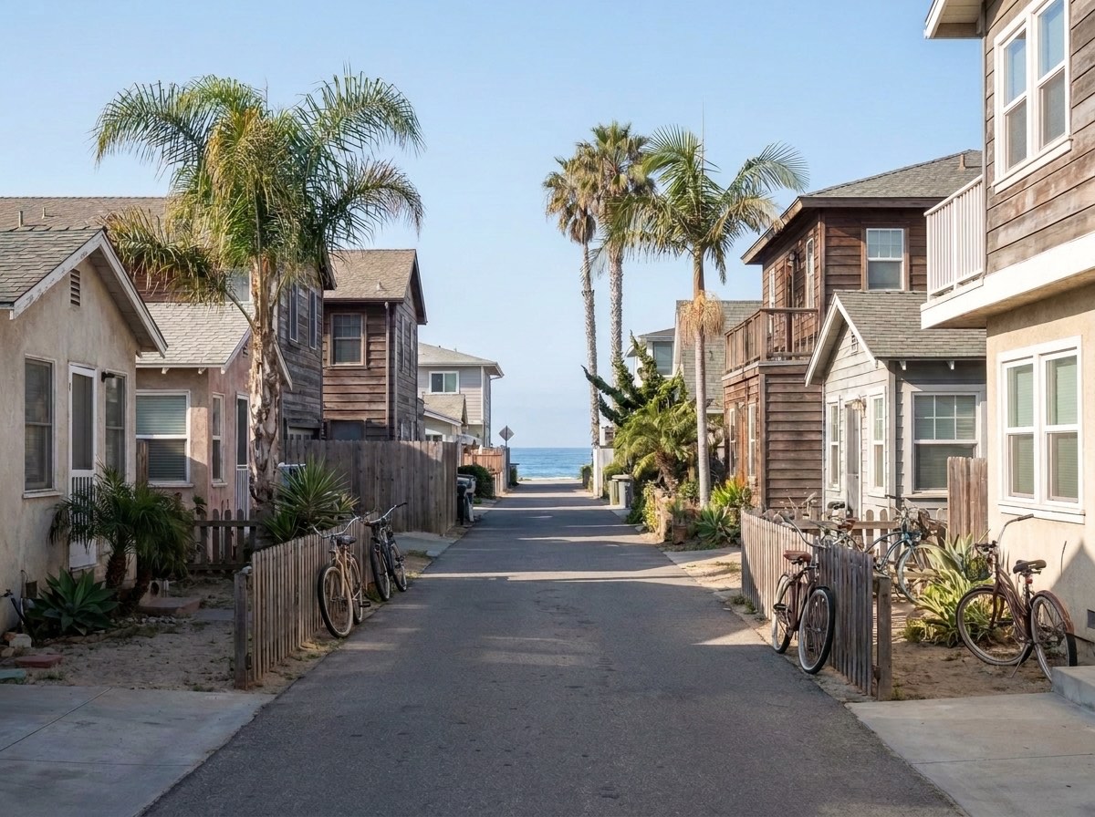
A canal-front lot in Naples, an oil-field lot on Signal Hill and a beach cottage in Old Town Seal Beach raise completely different survey questions.
Canal-front lots in Naples, tidelands along the shore and a harbor that sank during the oil boom.
A century of oil wells under the lots, and a hill raised by the Newport-Inglewood fault.
Narrow Old Town lots near the sand, coastal flood zones and Orange County records.
Where we work
Long Beach, the cities it surrounds and the ones on its borders - across two counties with two sets of survey records.
Not listed? Call anyway - if the property is within reach of an area we already cover, we will price it.
FAQ
Free quote the same business day. Send the address or the APN and what plan check, the lender or the title company has asked for.